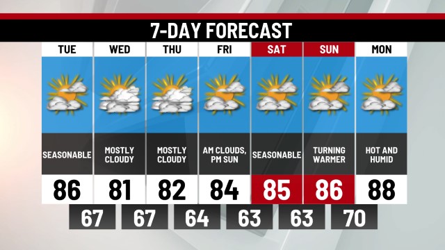
TODAY: Partly Cloudy. Hi 58.
TONIGHT: Clearing Skies, Patchy Frost. Lo 35.
TUESDAY: Partly Cloudy. Hi 60.
Yesterday began a cooler stretch of weather that will last through this week. High temperatures only peaked in the upper 50s Sunday and that will occur again to kick off the work week today. There is potential for frost this morning and again tomorrow morning under clear skies and calm winds. While most backyards will stay in the mid to upper 30s, some of the usual cooler locations and valleys could dip lower leading to areas of frost. Any concerns for outdoor plants should be monitored and cared for on Monday and Tuesday mornings.
The next three days will all feature periods of sun and clouds with a passing shower or sprinkle. The best chance for a shower is likely Wednesday. Highs will be in the 50s and 60s, making for a cooler-than-normal week ahead. There are some signs for more showers toward the end of the week and next weekend which could mean a much-needed damp stretch for the region. We'll continue to monitor the trends and post updates throughout the week. In the meantime, grab the jacket this week, you'll need it!
-Meteorologist Brett Thackara


0 Commentaires